Russia Country Study

Explore Russia with these free Russia country study printables. Children read short facts and color pictures of its flag, foods, nesting dolls, and landmarks. Use the pack with early elementary learners, or read the facts aloud to younger children.

At a Glance
- Best for: Early elementary; younger children with adult help
- Skills practiced: Reading, map recognition, and coloring
- What’s included: Eight country study pages
- Materials: Printer, paper, crayons or colored pencils
- Format: Free printable PDF
Jump to:
What’s Included in These Russia Worksheets?
The eight-page pack pairs short facts with pictures to color. Topics include Russia’s flag and map, foods such as pelmeni dumplings and black bread, Matryoshka nesting dolls, music, a Moscow landmark, traditional drinks and a samovar, and the brown bear.
6 Fun Russia Facts for Kids
- One country, two continents: Russia stretches across Europe and Asia. Trace it from west to east on a world map to see just how far it reaches.
- It is the world’s largest country: Russia covers more land than any other country. Look for it on a globe rather than comparing sizes only on a flat map.
- There are 11 time zones: Clocks do not all show the same time across Russia. Children in different parts of the country can start their school day at different moments.
- Moscow is the capital: Find Moscow in the western part of Russia. It is a useful starting point for exploring the country on a map.
- Tigers live there: Wild Amur tigers, also called Siberian tigers, live in forests in eastern Russia. Russia’s wildlife includes much more than bears!
- A record-breaking lake: Lake Baikal in Siberia is the deepest lake on Earth. It is also the oldest, at about 25 million years old.
Let’s explore! Find Russia and your own country on a globe. Are they on the same continent? Then find Lake Baikal and draw a tiny lake beside your favorite fact.
Talk about it: Would you rather spot a tiger’s footprints in a forest or explore a huge lake? What would you want to find out?
Fact sources: National Geographic Kids and UNESCO’s Lake Baikal profile.
What You’ll Need
- Printer and plain paper
- Crayons or colored pencils
- Optional: world map or globe, and a stapler for making a booklet
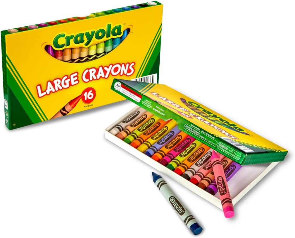
CRAYOLA LARGE CRAYONS
Keep crayons handy so children can color the flag, decorate the nesting dolls, and add their own details to the worksheet pictures.
Best for: Ages 3–9
As an Amazon Associate I earn from qualifying purchases.
How to Use These Printables
- Download the PDF below and print the pages you want to use.
- Find Russia on a map, then read one page together.
- Color the illustration and talk about the fact on the page.
- Ask your child to share one thing they learned. Staple the pages into a booklet if you like.

Tips for Making the Activity More Fun
- For younger children: Read aloud and let them focus on coloring and naming the pictures.
- For confident readers: Ask them to write a postcard with two Russia facts and a drawing.
- Try a size game: Draw three nesting-doll outlines in different sizes and put them in order from smallest to largest.
More Free Country Study Printables
If your child enjoyed this activity, you might also like:
- Italy country study worksheets
- Netherlands country study worksheets
- Vietnam country study worksheets
Download the free Russia Country Study worksheets
Open the PDF using the button above, save it to your device, and print your chosen pages. Use your printer’s “Fit to page” setting if the edges are cut off.
For personal educational use. Please don’t resell, alter, or redistribute the file; share this post instead. See our terms of use.


